Uavfly construction Drone Surveys
Uavfly Drone Site Surveys use the latest technology to offer construction professionals alternative visual options, enabling you to work smarter. Drones offer safer alternatives to external work and working at height. We have a drone for every task, whether you require highly accurate digital measurements, thermal investigations and thermography, site progress monitoring or just high quality imagery, we can deliver.
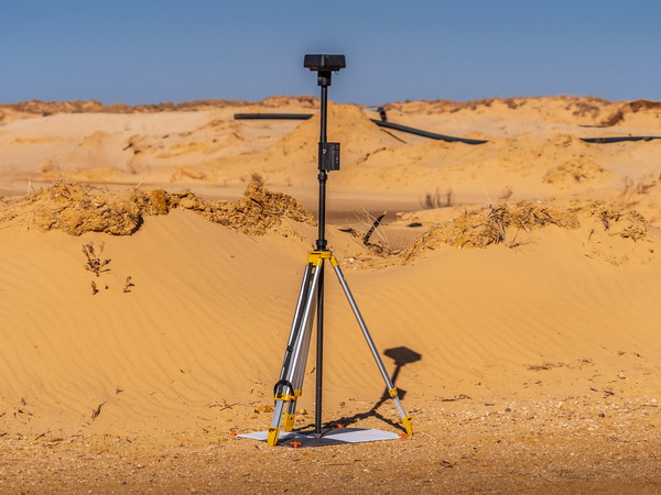
Using the latest photogrammetry software aligned with our own dedicated RTK base stations, enables us to acquire huge amounts of accurate data to be extrapolated out of the images taken.

Some of our Surveyor Support Services
We provide remote measuring services for surveyors. Using the latest RTK drones, 3D scanning and photogrammetry software we create visual databases to be used on and off site.
Our photogrammetry software allows us to create 2d or 3d visual models of the whole site, that can be geo-referenced, and time and date stamped to give an absolute visual that can be shared to all involved in the project.
As well as site progress, we can all measure on site distance, depth, volumes and pitch with our selection of Drones.
Thermal Surveys
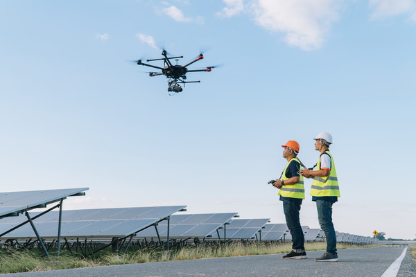
Uavfly are specialist thermal survey contractors. We have coupled the very latest in thermal technology cameras, to the safest drones around, combined with a national pilot network to give unparalleled service to our customer base. Our service includes data collection, post processing, and AI analysis to produce 98% accurate reports on your solar assets.
Thermal images tell no lies, however they do contain secrets often hidden from the naked eye. Our thermal surveys can identify hvac, heat loss, missing or defective insulation, water ingress etc.

Uavfly Aerial Drone Surveys
From commercial to domestic roofs, chimneys to church spires, we can complete a drone survey on any roof type or structure from the air.
It is far safer, substantially quicker and much cheaper to view your assets with an aerial drone survey than by using the traditional working at height construction methods.
UAVFLY deliver super high quality imagery, that when delivered through our cloud based photogrammetry software, allows you not only to have great visuals, but also be able to extrapolate highly accurate measurements and 2d/3d point cloud data.
